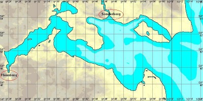
Flensborg Fjord is located at the German Danish border. The new scenery extends the existing "Bight of Kiel" scenery in the North West direction. The scenery is not finished but the towns Flensburg and Sonderbord are equiped now.
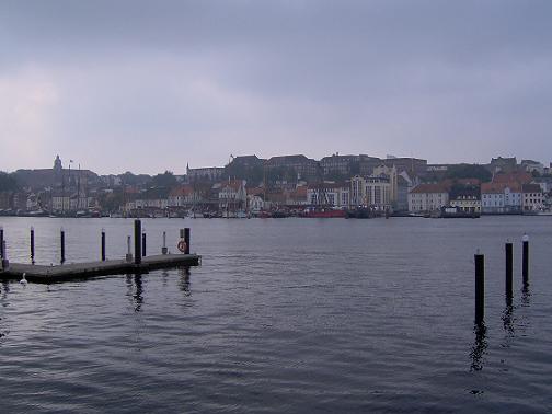
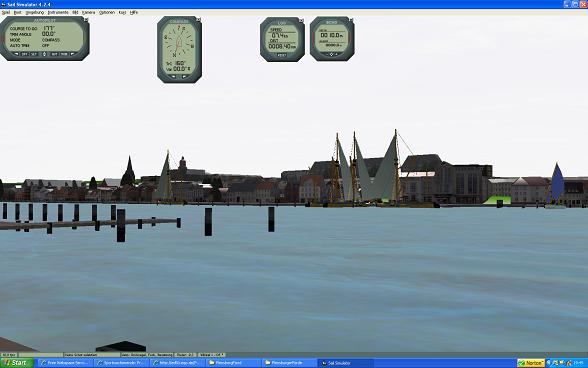
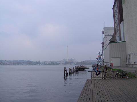
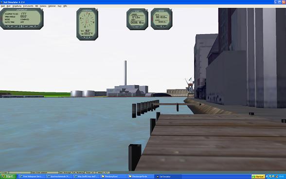
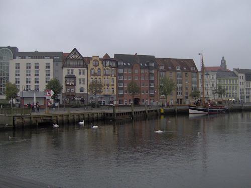
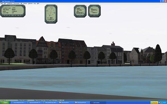
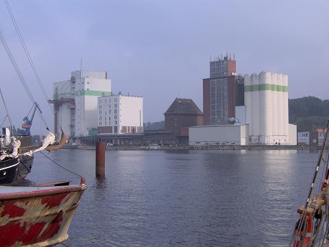
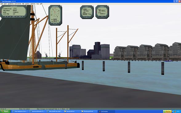
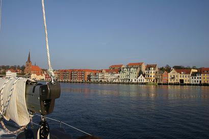
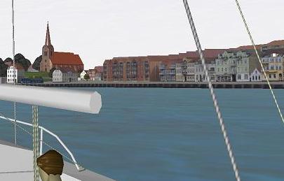
I started to use real photos as texture for all objects - at least as far I am able to get picture. Using photos makes the objects more realistic. Creating the Sonderborg object I started to use Google Maps to place the different houses, bridges and other items. This is also benefitial to achive more realistic objects. I include some photos and place the related scenery screen shoot in parallel.
Flensburg - real photos
Flensburg - screen shots
Sonderborg - real photos
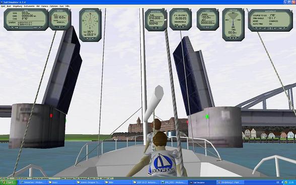
Sonderborg - screen shots
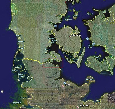
To download the preview for "Firth of Flensburg V3.0" please click on the chart:
Nautical extension is from 009°47"E - 011°26"E and 54°53"N - 54°11"N which is more than 40 x 60 NM. It took more that 2 years to create it.
Hint regarding Bight of Kiel: I detected that the perfomance of the SailSimmulator is not driven by the complexity of the object but by the size of the textures used. I therefore decided to reduce the biggest one of my bitmaps. In case you have performance problems with "Bight of Kiel" please download (5,7 MB)the reduced bitmaps here and overwrite the original ones in the scenery subdirectory "objects". (You should backup the original bitmaps in a separated directory before overwrite them.)
Generic hint for all sceneries: I have detected problems with the correctness of the nautical positions caused by a software bug in the converting software from DEM to Scenery: During DEM creation the DEM positions are correct. After finish the DEM the DEM has to be converted from DEM to sceney which means the map interpretation is converted to a globe sphere interpretation. That is correctly done so that in the north half that the west-east distance is smaller than the west east distance in the south. From my impression the converting here is correct looking to the x/y interpretation (DEM position X=0/Y=0 is e.g. x=7/y=21 in scenery after converting). But the nautical interpretation remains on X=0/Y=0. This lead to significant deviations comapring the position in SailSim compared to a connected standard navigation software. Stentec promised to solve it in the next version.


 New Project